What Is a Land Survey Plat?
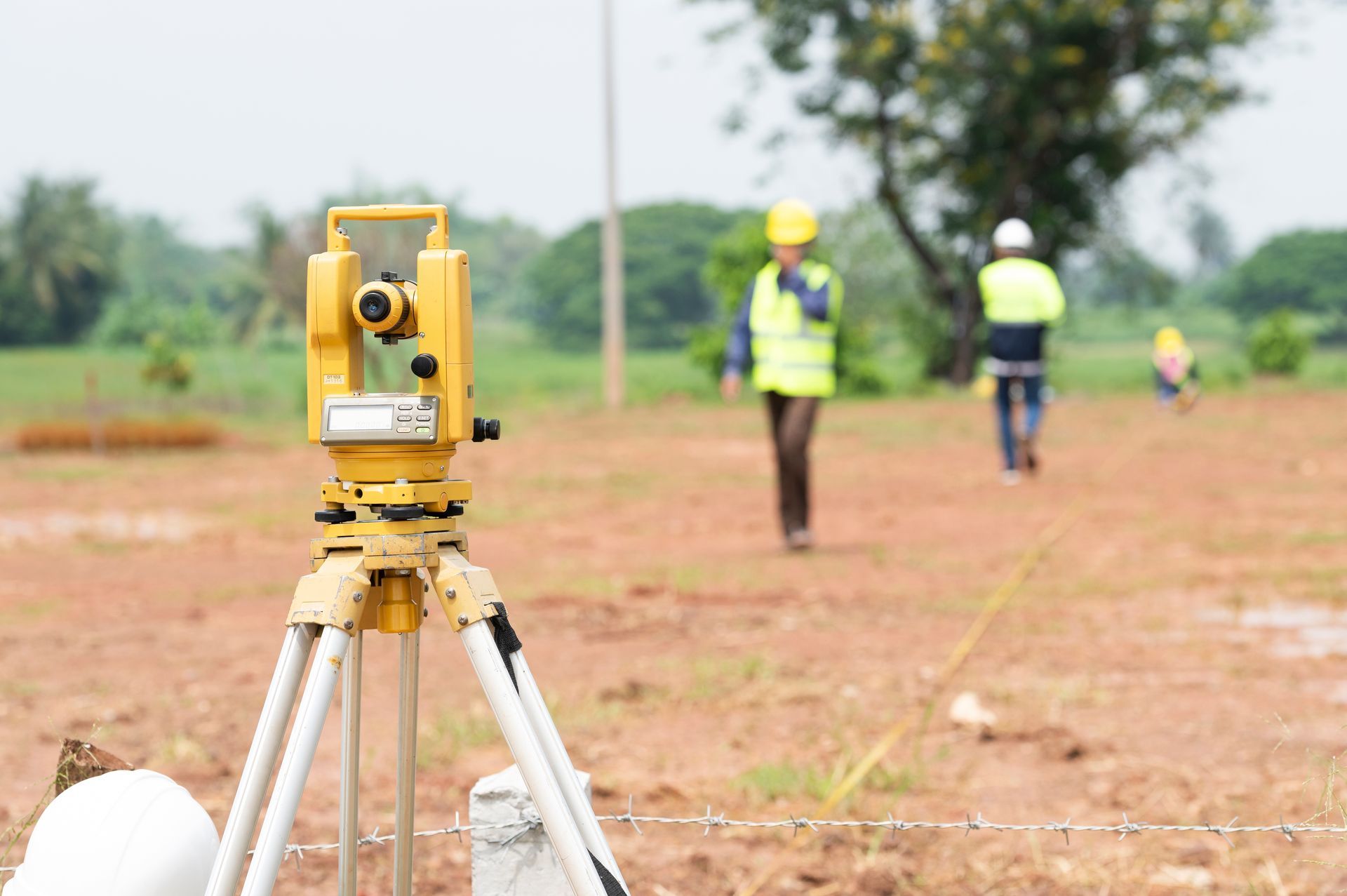
A plat is a scaled map that shows the exact legal boundaries of a piece of land. It is prepared by a licensed surveyor and records the shape, size, and location of a property in relation to surrounding parcels. In Illinois, a plat must meet requirements set by the Illinois Professional Land Surveyor Act and is a legally binding document once recorded. Developers, title companies, attorneys, and lenders all rely on plats during real estate transactions.
Key Elements You Will See on a Plat
Every plat contains a standard set of information, though layout and style may vary by surveying firm.
The Title Block and Certification
The title block lists the property address, legal description, licensed surveyor's name, license number, date of survey, and surveyor's seal. In Illinois, a plat without a licensed surveyor's stamp is not legally valid. Check this block first to confirm the document is current and properly certified.
Boundary Lines and Bearings
Boundary lines form the outline of the property. Each line is labeled with a bearing and a distance. Bearings describe direction using compass degrees, for example "N 45° 30' E." Distances are shown in feet. Together, these measurements let a surveyor recreate the exact corners of your lot on the ground.
Monuments and Pins
A monument is a physical marker identifying a property corner. On a Chicago-area plat, you may see abbreviations such as "IPS" (iron pin set), "IPF" (iron pin found), or "SIC" (spike in concrete). If a monument is missing or disturbed, a surveyor can reset it based on recorded measurements.
Easements and Encumbrances
Easements appear as dashed lines or shaded areas with a written description. Common types include utility, drainage, and access easements. In older Chicago neighborhoods such as Logan Square or Pilsen, utility easements behind lots are particularly common due to dense, block-style development. Easements run with the land and transfer to the new owner at closing, affecting fencing, additions, and landscaping plans.
Lot Dimensions and Area
The plat shows overall lot dimensions and total square footage or acreage. For condominium properties or air rights divisions common in Chicago high-rise developments, three-dimensional boundaries shown in elevation may also appear. These documents often require a specialized plats of surveys<https://www.plcs-survey.com/plats-of-surveys> service to interpret correctly.
North Arrow and Scale
A north arrow orients the plat on the page. The scale bar shows the ratio between the drawing and real-world measurements. Always check the scale before estimating distances by eye, since a plat drawn at 1" = 20' reads very differently from one at 1" = 100'.
How to Find a Recorded Plat in Cook County
Chicago property owners can search for recorded plats through the Cook County Clerk's Recordings Division. Cook County offers a free online search at crs.cookcountyclerkil.gov, searchable by Property Index Number (PIN) or grantor and grantee name. If you know only the address, find the 14-digit PIN first using the Cook County Property Tax Portal or CookViewer, then locate the recorded plat and related documents from there.
Older Chicago plats may use outdated street names or reference subdivision names that no longer appear on modern maps, making historical survey records especially valuable.
When Should You Call a Licensed Land Surveyor?
A plat gives you important information, but it does not replace a current field survey. You may need a licensed land surveyor serving Chicago, IL, when buying or selling property, applying for a building permit, resolving a boundary dispute, installing a fence or addition near a property line, or refinancing a commercial property. Encroachments, changed easements, and missing monuments only show up when a surveyor visits the site.
For more on how surveying connects to real estate decisions, the guide on why land surveying is essential for property owners covers additional scenarios worth reviewing.
What Is the Difference Between a Plat and a Survey?
A plat is the recorded map document; a survey is the professional process used to create or verify it. A recorded plat may be years or decades old, while a current survey reflects today's conditions. Relying only on an old recorded plat without a current field survey carries risk for any transaction or construction project.
How Long Does It Take to Get a Plat of Survey in Illinois?
Turnaround times vary based on project complexity, site access, and the surveying firm's schedule. Residential boundary surveys for a standard city lot typically move faster than commercial or high-rise work. Contacting a licensed surveyor early in your project timeline is the best way to avoid delays at closing or during permitting.
Get Expert Help Reading or Obtaining Your Plat
PLCS Corporation has served Chicago and the surrounding region for over 100 years across three legacy divisions, giving the team an unmatched archive of historical survey records for Cook County and beyond. Whether you need a new plat prepared, an existing one interpreted, or a full land surveying service for a commercial or residential project, the team is ready to help. Call (773) 685-5102 or request a free consultation with the land surveyors at PLCS today.